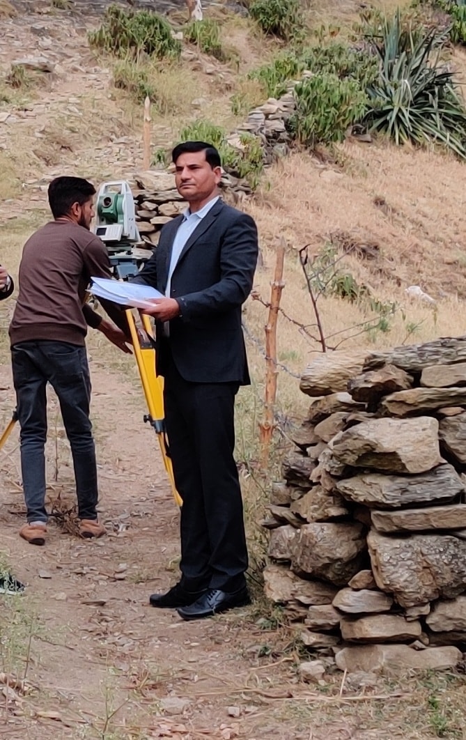

Dedicated to spatial truth, millimeter accuracy, and legal boundary clarity across Panchkula, Chandigarh, and the Indian subcontinent.
Founded by Er. Narinder Kumar with a singular vision to bring uncompromising accuracy and global engineering standards to land surveying, Manchitra has grown into one of India's most respected spatial enterprises. Headquartered in SCO-45, Sector 11 in Panchkula, our leadership bridges decades of traditional land measurement wisdom with 21st-century geodetic satellite technology—delivering certified spatial data across major infrastructure projects nationwide and worldwide.
Whether undertaking cross-border topographical mapping, hydro-electric transmission line surveys, or precise city plot demarcation, we operate with world-tested precision. When construction layouts deviate even by millimeters, the financial and legal consequences can be monumental. That is why Govt. of India undertakings, state electricity boards, and major contractors rely on Manchitra for undeniable spatial data.
Verified Justdial Reviews
Certified CAD Deliverables
We take immense pride in delivering certified spatial accuracy for major Government of India enterprises, state electricity boards, and infrastructure giants.







We never compromise on equipment quality, data integrity, or client deadlines.
We utilize multi-frequency Differential GPS instrumentation that communicates directly with global satellite constellations, eliminating cumulative human chain-measurement errors.
Our team possesses deep expertise in decoding historical Shajra, Musavi, and Aks-Shajra revenue maps, overlaying them onto real-world CAD coordinates.
Time is money in real estate development. We process field datasets immediately upon survey completion, delivering digital `.DWG` and `.PDF` plans within 24 to 48 hours.
As noted in verified client testimonials, we operate with transparent quotations and unbiased field measurements that stand up to rigorous scrutiny.