

Equipped with precision DGPS receivers, Auto Levels, and advanced Total Stations. Discover our complete master range of 16 specialized surveying solutions nationwide and worldwide.
Every project executed under rigorous quality protocols and geodetic benchmarks established under the guidance of Ex. Survey of India officers.
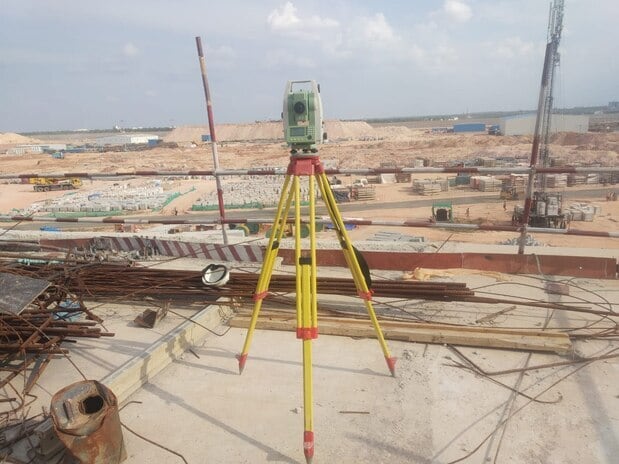
Vital for real estate infrastructure, industrial complexes, and urban engineering. We establish high-accuracy site datum benchmarks, grid coordinates, excavation profiles, and column centerlines before any civil construction begins.
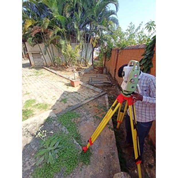
Protect your land investment against encroachment. Utilizing official revenue maps (Musavi/Shajra), our surveyors pinpoint exact geographical corners using DGPS coordinates and permanently embed reinforced concrete pillars on-site.
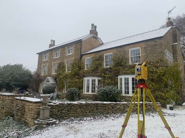
Essential for architectural design and municipal clearance. We capture detailed 3D surface elevations, natural features, trees, utility lines, road levels, and drainage contours across any acreage.
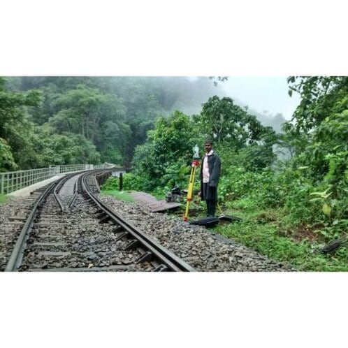
Specialized alignment engineering for railway corridors, expressway alignments, canal systems, and transmission line right-of-ways. We compute curve radiuses, longitudinal sections (L-sections), and cross sections (X-sections).
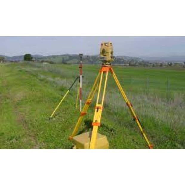
Whether mapping steep hilly orchards in Himachal Pradesh or dividing large agricultural farmlands in Haryana & Punjab, we provide sub-division plot maps, irrigation drainage slopes, and terracing layouts.
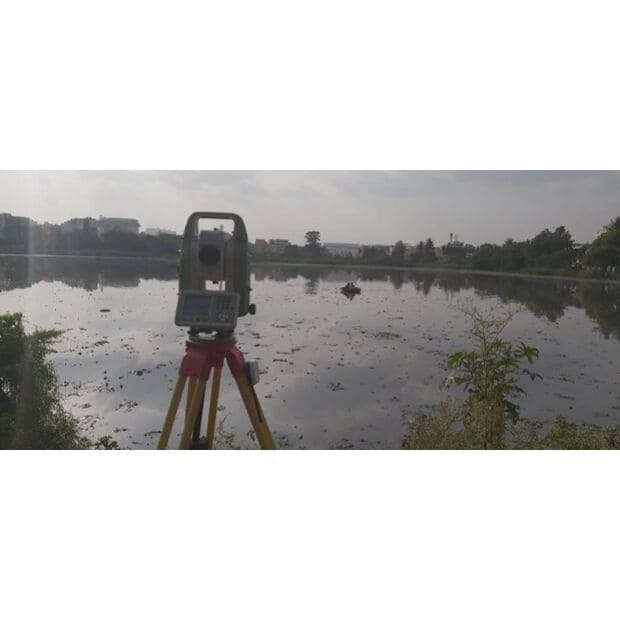
Executing high-precision surveys for airport runways, clearance zones, and waterbody hydrography. We measure silt accumulation, water reservoir capacity, and runway approach glide paths.
Common questions answered by our seasoned surveying specialists in Panchkula.