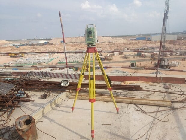
 Engineering
Construction Site Land Surveying
High-accuracy leveling, building axis layout, benchmark setting, and earthwork volume calculation for commercial and residential construction.
View Specifications →

Equipped with state-of-the-art DGPS receivers, precision Total Stations, and advanced GIS CAD processing. Trusted by major Government of India undertakings and industrial leaders like Ambuja Cement, WAPCOS, SJVN, and HPSEB for high-accuracy infrastructure corridors nationwide and worldwide.
Years of Geodetic Excellence
Certified Boundary Accuracy
National & Global Projects
Get a real-time budget range estimate
We take immense pride in delivering certified spatial accuracy for major Government of India enterprises, state electricity boards, and infrastructure giants.







⭐ Official Credentials: GSTN Registered Enterprise (06AJDPK2824J1ZC) & Registered MSME Unit.
From residential plot demarcation in Sector 11 to major infrastructure alignments nationwide and worldwide, we deliver certified CAD layouts.
Engineering
High-accuracy leveling, building axis layout, benchmark setting, and earthwork volume calculation for commercial and residential construction.
View Specifications →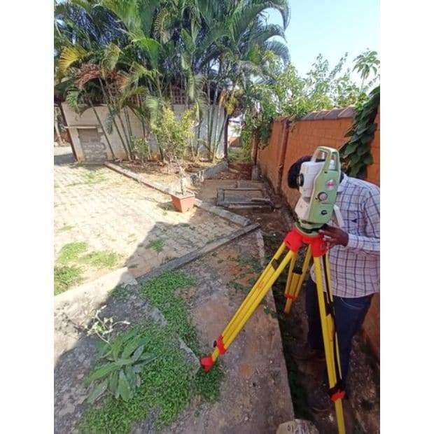 Legal & Property
Exact property demarcation using revenue maps (Shajra/Musavi), boundary dispute resolution, and concrete pillar installation.
View Specifications →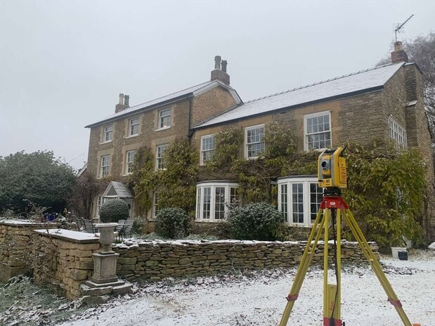 Topography
Detailed elevation maps, slope analysis, road profiles, and drainage planning using Total Stations and DGPS instrumentation.
View Specifications →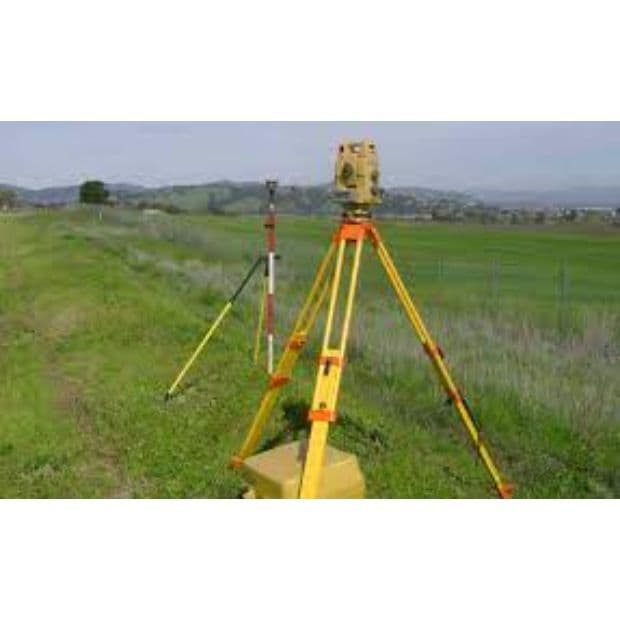 Agriculture
Precision plot division, irrigation slope determination, farm road layout, and orchard demarcation for landowners and developers.
View Specifications →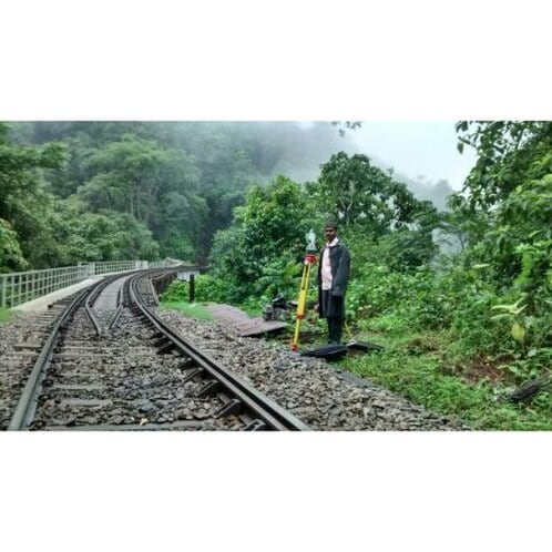 Infrastructure
Specialized alignment surveys, curve calculations, right-of-way demarcation, and corridor mapping for transport networks.
View Specifications →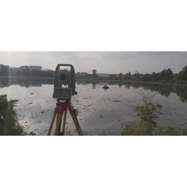 Hydrographic
Depth profiling, reservoir storage volume calculation, embankment alignment, and flood risk assessment surveys.
View Specifications →We invest in cutting-edge surveying instrumentation to guarantee flawless spatial datasets.
Dual-frequency Differential GPS providing real-time centimeter-level geospatial positioning across vast landscapes.
High-precision laser angular and distance measurement instruments for structural layout, L-sections, and boundary work.
High-precision optical and electronic leveling instruments for precise height clearance NOC and cross-sections.
Industry-standard CAD layout generation, geo-referencing, and digital mapping deliverables ready for approval.
Read feedback from property owners, architects, and civil engineers in Panchkula & Chandigarh.
"Good work as per commitment. Application minded. Highly satisfied with their exact boundary demarcation and prompt report delivery."
"Excellent technical knowledge and modern equipment. They completed our site contour survey well before the project deadline with extreme accuracy."
"Most dependable land surveyors in Panchkula Sector 11. Clear coordination, fair pricing, and complete peace of mind regarding legal plot maps."